Google Earth 5.2: GPS tracking and elevation data available
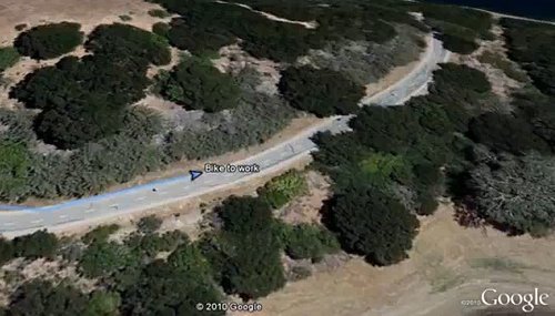
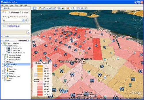
Google has announced a new version of Google Earth software, version 5.2 enhancements include support for GPS tracking, altitude data, improved browser embedded browser. Google Earth has been able to import GPS data, but there will be new in the 5.2 version of the tracking display mode, you can all the data from the device, including the time stamp, latitude and longitude, speed and other information integrated together to form a continuous string ofpoint, playback can be tracked through the line you walk. Now, you can not only consider the latitude and longitude of the plane, of course, also have altitude problems.New version of Google Earth can do, before you can re-import KML files look to see if there are elevation information that can now come out normal. In addition, Google Earth in an integrated WebKit-based browser core (like Chrome), after you click on the link may not leave the Google Earth software directly navigate. Google Earth Pro also has updates, including better GIS import support (improved UI, compatible with KML 2.2 format files, auto-partition), an increase from the U.S. post office, the Census Bureau of Transportation agencies and professional data. Finally, Google Earth plug-in is also updated to support latest GPS tracking, but does not support altitude data, it is estimated will be added later.
|


 Speaking of GPS data tracking

 Last data update: 10.12.2011